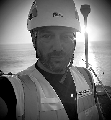
top of page

DRONE-OPS

Comercial Drone Solutions Company

DRONE-OPS is your partner for professional aerial survey, inspection and media solutions.


We specialise in delivering high-resolution drone surveys, mapping, inspections and 3D models with superior industry-grade precision and 80% faster turnaround than traditional survey providers— backed by years of field experience and advanced technology.

Whether you need accurate geospatial data for construction and infrastructure, or stunning drone videography for maritime operations, real estate and events- we provide fast turnaround, reliable results, and unmatched clarity from above.

WhatsApp Image 2025-07-21 at 21_edited.p

Partnerships

image_edited.jpg
Screenshot 2025-07-21 at 19_edited.jpg
Screenshot 2025-07-21 at 21.34_edited.jpg
NOSA_edited_edited.png
521004345_122251705022193384_1813321268561551153_n_edited.jpg

DRONE-OPS® is a premier Gibraltarian drone-based services & data solutions company, with over 5yrs of experience in local UAV operations and 30yrs of global operational reach with its partners.


DRONE-OPS® also boasts 40+ yrs in professional photography;  videography & documentary film making experience. 


We offer a national service with global reach with a network of highly trained professionals servicing a range of industries using cutting-edge drone technology.

Our knowledge and passion for the industry ensures we can deliver the best results for your business.

©2026 by DRONE-OPS

  • LinkedIn
  • alt.text.label.Facebook
  • Instagram
  • Youtube
bottom of page